


The feature of high precision GNSS position and IMU INS ensure GS-100C active and real-time perception of the environment, dynamic spatial position relationship of objects and also generate accurate 3D space models under the condition of consistent absolute measurement point.
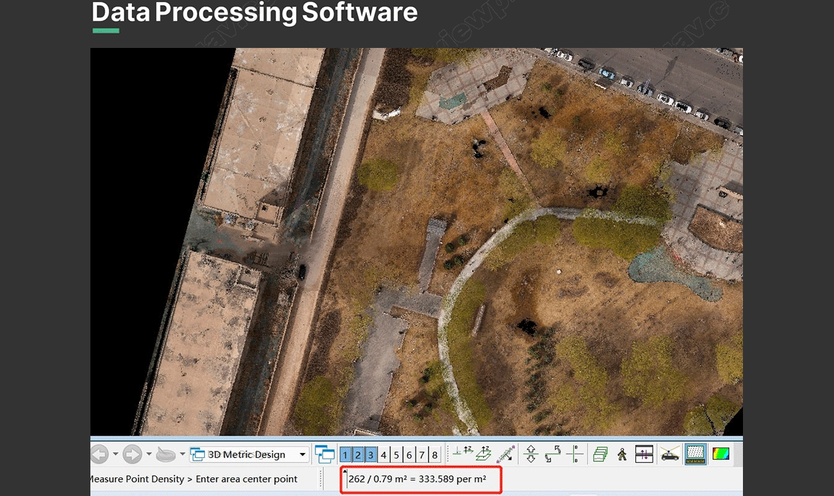
Features with light-weight (only 1.05kg), fast data processing speed, it can be integrated with various multicopter to quick obtain the 3D position and attribute information of the object in the mission area. Through the data processing software , it will generate the digital image such as DEM, DOM (Sony A6000 24mp surveying camera), DSM, DRG, DLG. Which can be widely used in the Digital city construction, river and soil research, Land survey, Forestry and Agriculture analysis.